This is a small sample of the projects that we have been involved with in the last few years.
Project Death Valley Sewer Replacement, 2015
Owner: National Park Service
Description: Establish survey control on State Plane coordinate system, topographic survey of existing sewer line and adjacent areas, and location of existing utilities. Surveying of coordinate control and field data with real time GPS equipment and conventional surveying equipment.
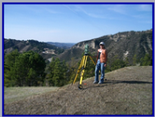
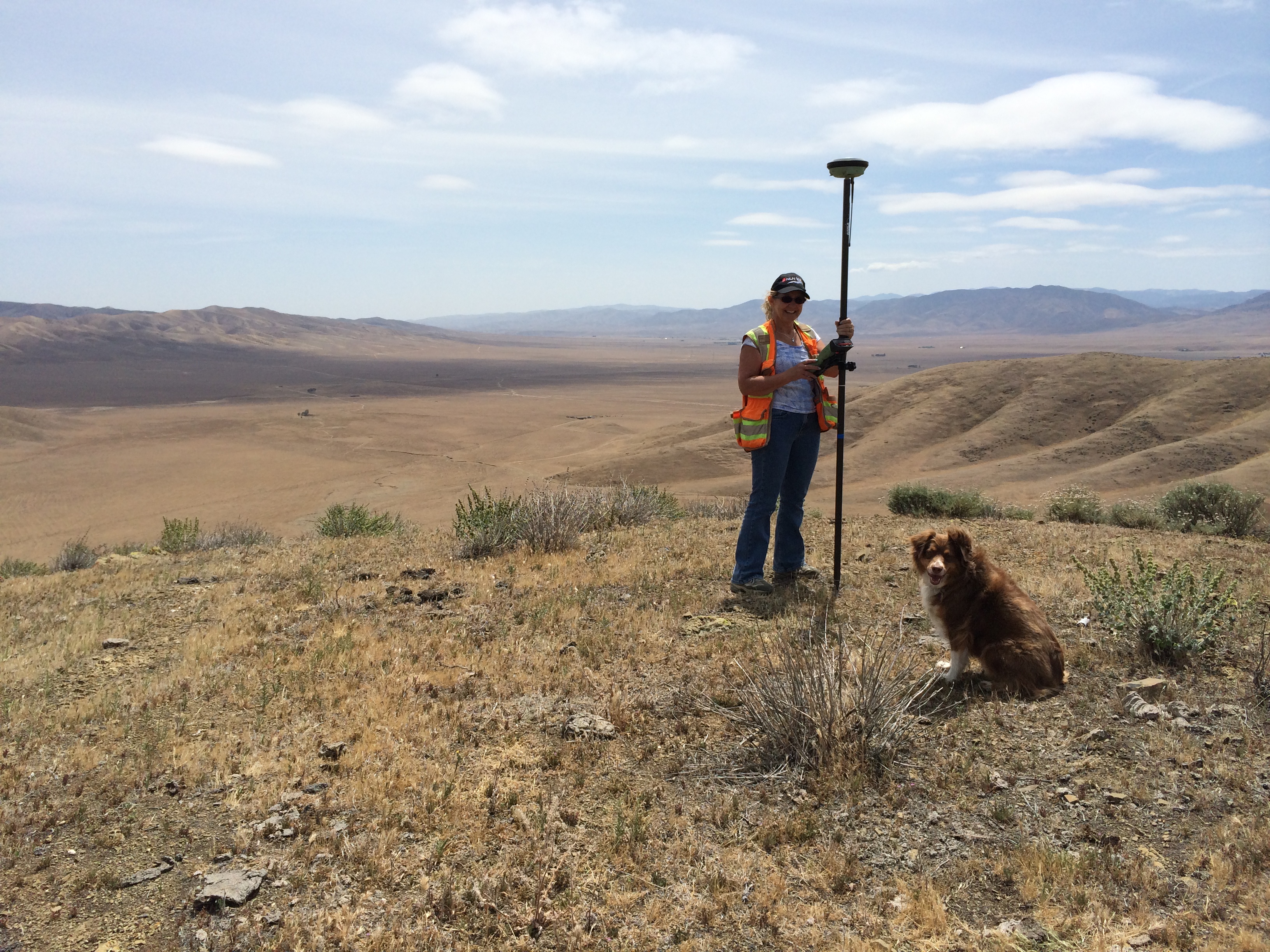
Project: Boundary Survey of 6500 Acre Site in San Benito County, 2014
Owner: Solar Farm
Description: Boundary survey of multiple sections and township lines. Research of historical data. Resolution and mapping of three large ranches, including several county roads.
Project: Monterey Peninsula Water Supply Project Pipeline, 2015
Owner: Cal Am Water
Description: Control for aerial survey from Moss Landing to Pacific Grove, along the Monterey coast for preparation of site improvement plans. Location of utility conflicts along the 25 mile route.
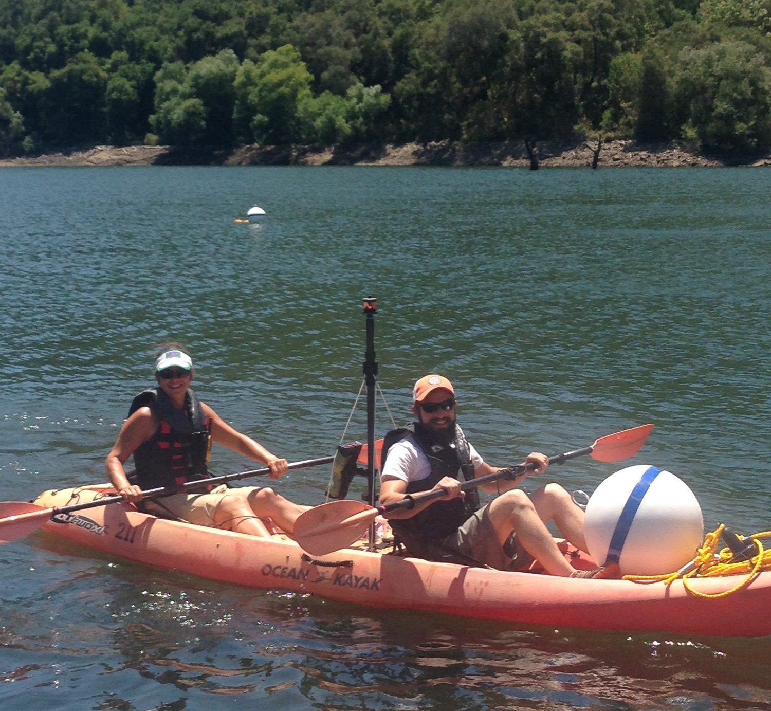
Project: Los Padres Dam Fish Ladder, Carmel Valley 2015
Owner: Cal Am Water
Description: Control and staking for new fish ladder from the spillway to the plunge pool. As built locations of the spillway and dam face for staking of fish weir and access platform. Set anchor markers in the lake.
Project A.L.T.A Survey of 17 Acre Site in Marina, 2012 Owner: Dept. of Veteran's Affairs
Description: Boundary survey of portions of existing parcels and the existing right of way. Resolution of complex chain of title issues and easement locations. Included location of existing utilities and roadways. Surveying of boundary and field data with real time GPS equipment and conventional surveying equipment.
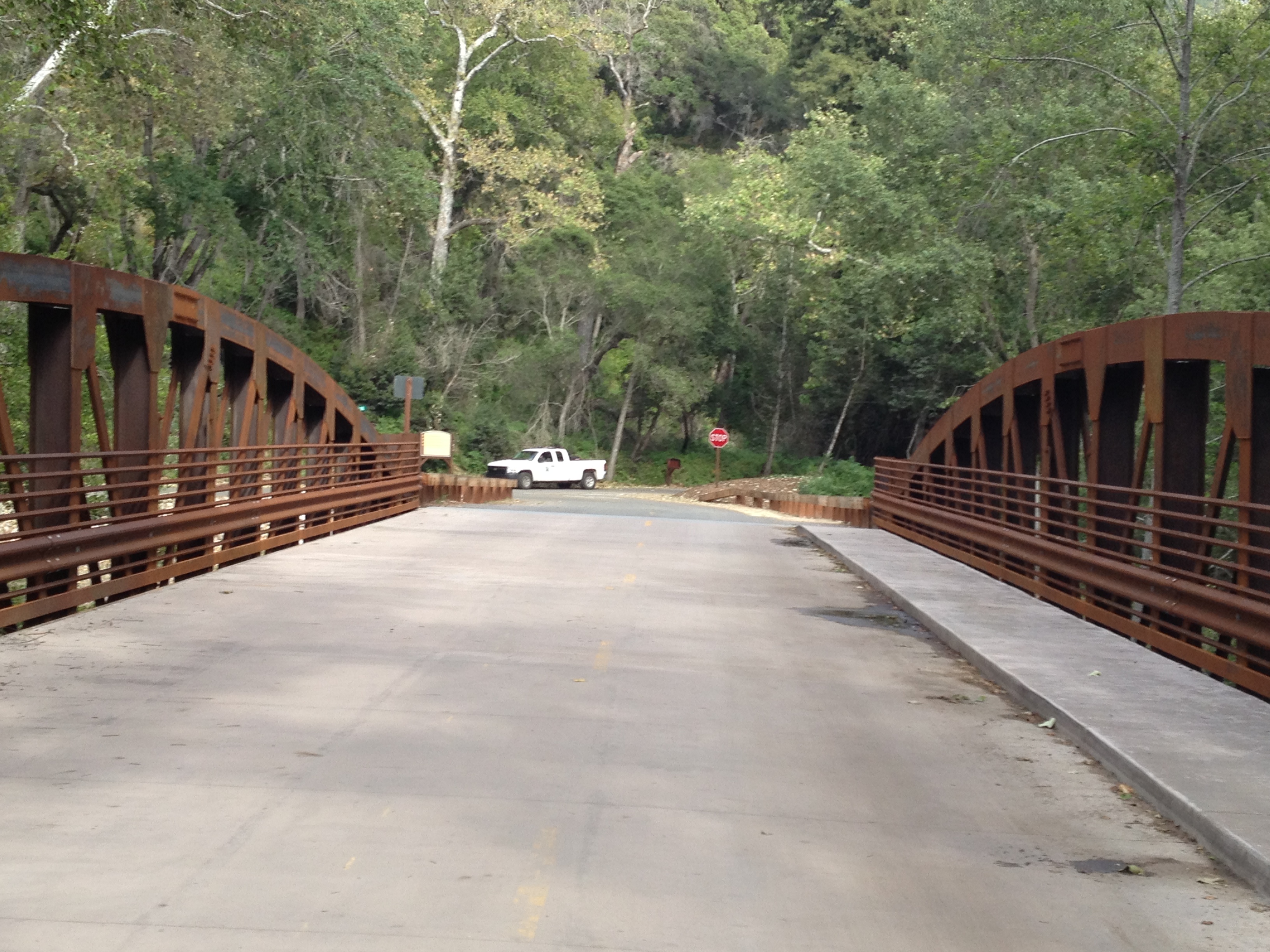
Project: Pfeiffer Big Sur State Park, 2010
Owner: State of California
Description: Establish survey control for construction of proposed route of accessible pathway improvements along the Big Sur River from the entrance station to the campground. As built survey control of anchor bolts for bridges for vehicles and pedestrians.
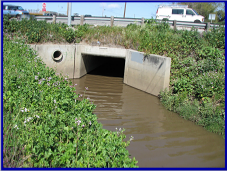
Project Sanborn & Elvee Drive Improvements, 2011-2012 Owner: City of Salinas
Description: Establish survey control on State Plane coordinate system, topographic survey of existing roadway and adjacent areas, location and boundary survey of existing right of way and location of existing utilities. Location and invert elevations of Reclamation Ditch at John Street. Surveying of aerial panel control and field data with real time GPS equipment and conventional surveying equipment.
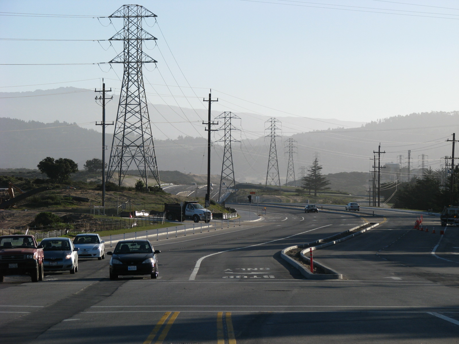
Project: Gen. Jim Moore Blvd. and Eucalyptus Rd. Improvements, 2009 - 2010
Owner: Fort Ord Reuse Agency
Description: Establish survey control network, topographic and boundary surveys. Identify areas of endangered species habitat. Construction staking of over 15,000 l.f. of roadway improvements; roadways, water lines & utilities.
Project: Government Center Parking Structure Site Survey, Salinas, 2008
Owner: County of Monterey
Description: Topographic and Boundary survey of existing improvements, ground conditions, and utilities along a four block area and field location of existing right of way information for preparation of street and site improvement plans.
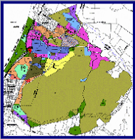
Project: FORA Land Transfer Surveys, FOST 8 through FOSET 5, 2005 - 2010
Owner: Fort Ord Reuse Agency
Description: Establish survey control network, set new monumentation, boundary surveys, legal descriptions and Record of Survey maps of over 5,000 acres of proposed parcels to be transferred to the various stakeholder entities.
Project: Monterey County Site Plan Surveys, Various Locations, 2004-2010
Owner: County of Monterey
Description: Topographic survey of existing improvements, right of way location, existing structures, ground conditions, and utilities for the Juvenile Hall, Proposed Parking Structure at Alisal & Cayuga, Salinas, the Mt. Toro Antenna sites, and other sites throughout the County.
Owner: National Park Service
Description: Establish survey control on State Plane coordinate system, topographic survey of existing sewer line and adjacent areas, and location of existing utilities. Surveying of coordinate control and field data with real time GPS equipment and conventional surveying equipment.
Project: Boundary Survey of 6500 Acre Site in San Benito County, 2014
Owner: Solar Farm
Description: Boundary survey of multiple sections and township lines. Research of historical data. Resolution and mapping of three large ranches, including several county roads.
Project: Monterey Peninsula Water Supply Project Pipeline, 2015
Owner: Cal Am Water
Description: Control for aerial survey from Moss Landing to Pacific Grove, along the Monterey coast for preparation of site improvement plans. Location of utility conflicts along the 25 mile route.
Project: Los Padres Dam Fish Ladder, Carmel Valley 2015
Owner: Cal Am Water
Description: Control and staking for new fish ladder from the spillway to the plunge pool. As built locations of the spillway and dam face for staking of fish weir and access platform. Set anchor markers in the lake.
Project A.L.T.A Survey of 17 Acre Site in Marina, 2012 Owner: Dept. of Veteran's Affairs
Description: Boundary survey of portions of existing parcels and the existing right of way. Resolution of complex chain of title issues and easement locations. Included location of existing utilities and roadways. Surveying of boundary and field data with real time GPS equipment and conventional surveying equipment.
Project: Pfeiffer Big Sur State Park, 2010
Owner: State of California
Description: Establish survey control for construction of proposed route of accessible pathway improvements along the Big Sur River from the entrance station to the campground. As built survey control of anchor bolts for bridges for vehicles and pedestrians.
Project Sanborn & Elvee Drive Improvements, 2011-2012 Owner: City of Salinas
Description: Establish survey control on State Plane coordinate system, topographic survey of existing roadway and adjacent areas, location and boundary survey of existing right of way and location of existing utilities. Location and invert elevations of Reclamation Ditch at John Street. Surveying of aerial panel control and field data with real time GPS equipment and conventional surveying equipment.
Project: Gen. Jim Moore Blvd. and Eucalyptus Rd. Improvements, 2009 - 2010
Owner: Fort Ord Reuse Agency
Description: Establish survey control network, topographic and boundary surveys. Identify areas of endangered species habitat. Construction staking of over 15,000 l.f. of roadway improvements; roadways, water lines & utilities.
Project: Government Center Parking Structure Site Survey, Salinas, 2008
Owner: County of Monterey
Description: Topographic and Boundary survey of existing improvements, ground conditions, and utilities along a four block area and field location of existing right of way information for preparation of street and site improvement plans.
Project: FORA Land Transfer Surveys, FOST 8 through FOSET 5, 2005 - 2010
Owner: Fort Ord Reuse Agency
Description: Establish survey control network, set new monumentation, boundary surveys, legal descriptions and Record of Survey maps of over 5,000 acres of proposed parcels to be transferred to the various stakeholder entities.
Project: Monterey County Site Plan Surveys, Various Locations, 2004-2010
Owner: County of Monterey
Description: Topographic survey of existing improvements, right of way location, existing structures, ground conditions, and utilities for the Juvenile Hall, Proposed Parking Structure at Alisal & Cayuga, Salinas, the Mt. Toro Antenna sites, and other sites throughout the County.