LAND SURVEYING SERVICES
MAPPING SERVICES
- Boundary Surveys
- A.L.T.A. Surveys
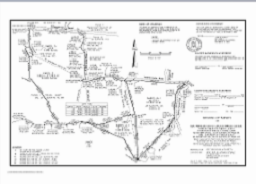
- Record of Survey Maps
- Lot Line Adjustments
- Parcel Maps
- Subdivision Maps
- Certificates of Compliance
- Partition Surveys
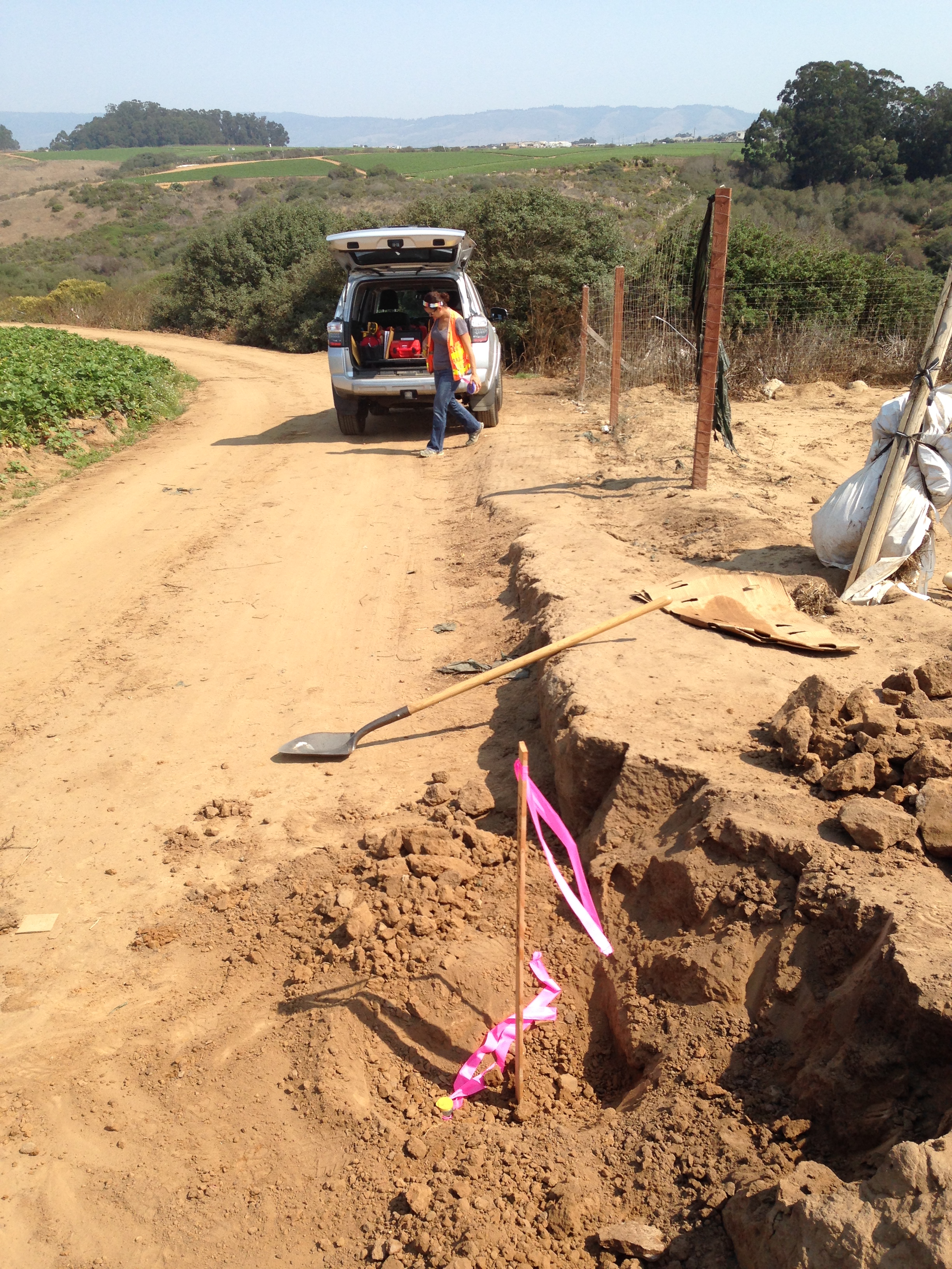
- GPS Surveys
- Aerial Photogrammetric Control
- Topographic Mapping
- Monitoring Wells
- Elevation Surveys
- FEMA Flood Surveys
- FEMA Elevation Certificates
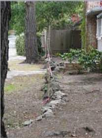
- Construction Staking
- GIS Applications
- GIS Data Acquisition
- Title Research, Chain of Title,
- Title Report Descriptions and Easement Documents
- Legal Descriptions for Rights of Ways, Parcels, Easements
- Expert Witness Testimony for Boundary Disputes
- Expert Witness Consultation for Right of Ways, Easements & Parcel Legality
MAPPING SERVICES
- Topographic Maps for Site Development
- Boundary Overlays to Orthophotographs for Site Planning
- Tentative Maps for Lot Line Adjustments, Minor and Major Subdivisions
- LAFCO Annexation Maps, Zoning Maps, Site Display Maps
- Exhibit Maps for Court Cases
- A.L.T.A. Survey Maps
- Vicinity or Area Maps
- CAD Services
- GIS Mapping
POLARIS LAND SURVEYING offers a wide range of Land Surveying, Boundary and Mapping services.