Projects
This project portfolio showcases our extensive range of project experience.
We take immense pride in our ability to consistently deliver high quality surveying services on time,
within budget and with an unwavering commitment to professionalism…
making us the ideal surveyors for your next project!
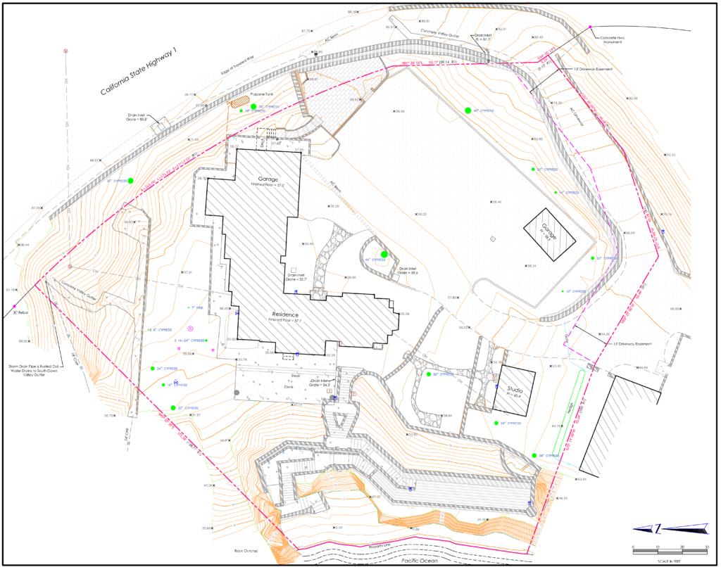
Site Plan
A typical site plan will locate all existing infrastructure (buildings, roads, utilities, etc.), trees and topography with respect to the property boundary. Site plans are often used as the basis for planning and development purposes.
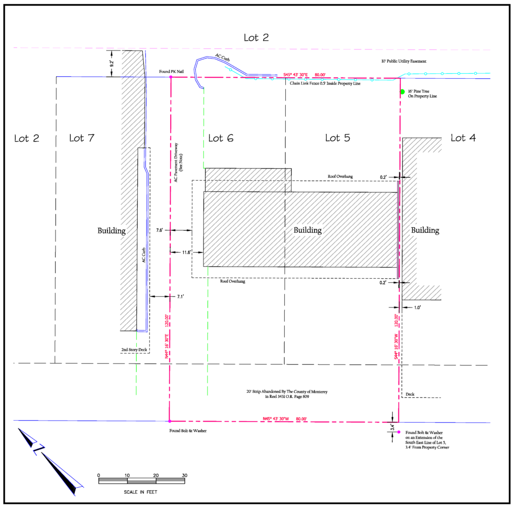
Boundary Survey
A typical boundary survey involves reviewing the property title report, deeds and record maps. A field survey is conducted to locate property monumentation. Encroachments are located and mapped with respect to the property boundary.
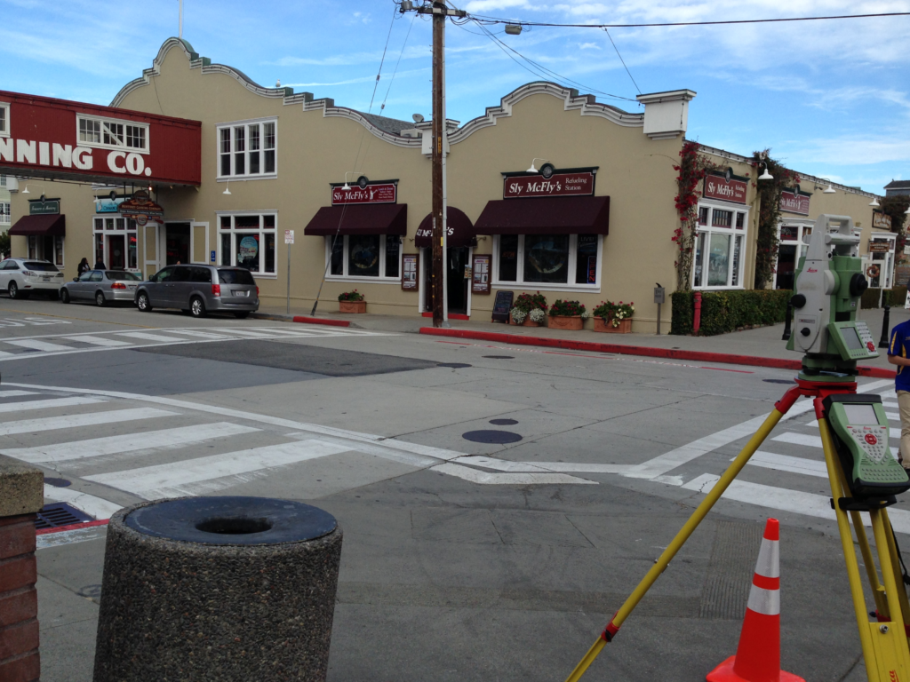
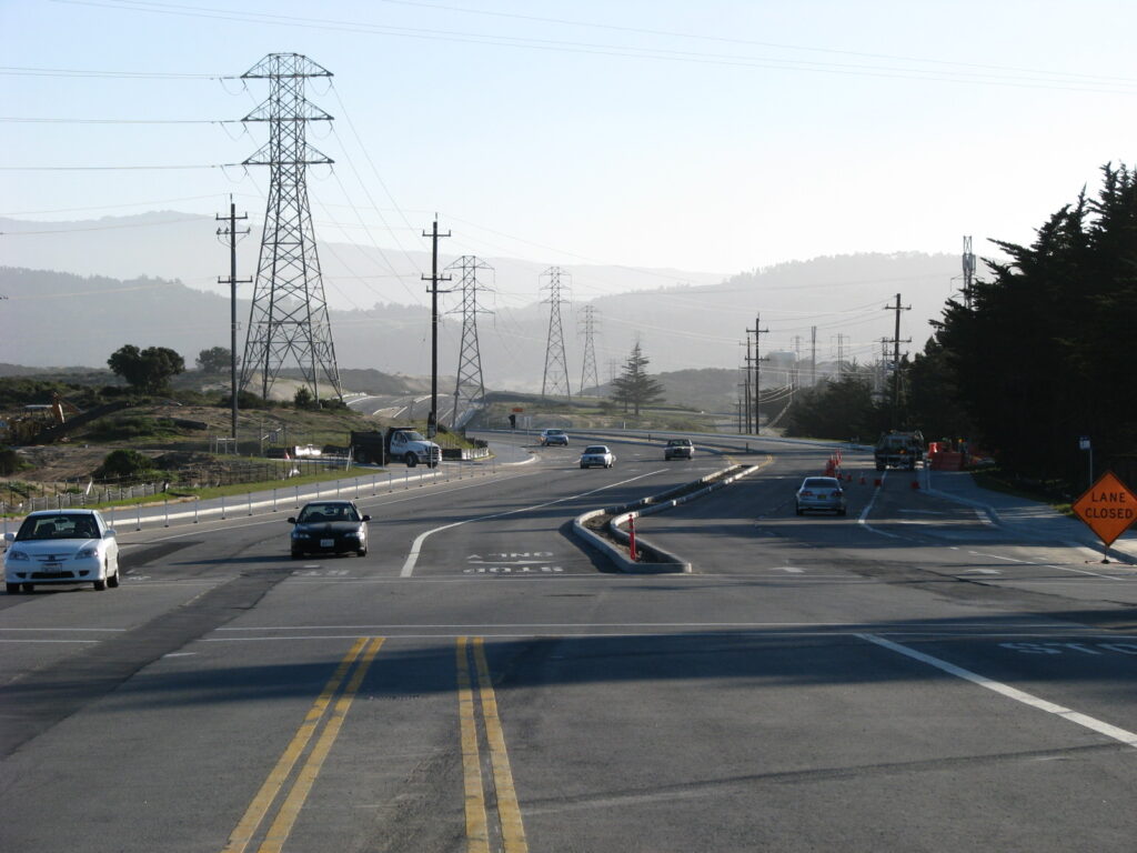
ADA Survey
ADA (American with Disabilities Act) Surveys involve extensive detail of structures and grades to ensure pedestrian access meets ADA specifications for width and slope. These surveys are typically completed at roadway intersections, along sidewalks and at commercial properties. Polaris has completed many ADA surveys throughout Monterey County at some of the following locations:
– City of Monterey Intersection Improvements
– City of Soledad Intersection Improvements
– City of Salinas Downtown Complete Streets
– Caltrans Hwy 152, Watsonville Intersections
– Carmel Highlands Inn
– Corkscrew Café, Carmel Valley
– Carmel Valley Ranch
– Chuck E. Cheese, Salinas
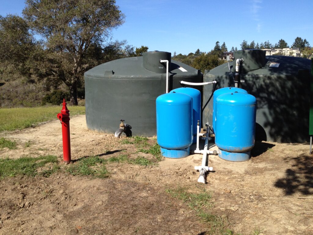
Monterey Peninsula Water Supply Project
Design Surveys and Right-of-Way Determination
Polaris established a survey control network on State Plane coordinate system for the entire pipeline length from Monterey Peninsula to Moss Landing (approx. 25 miles), set control for aerial photogrammetry, performed topographic, utility and boundary surveys for infrastructure design and prepared legal descriptions for right of way easements.
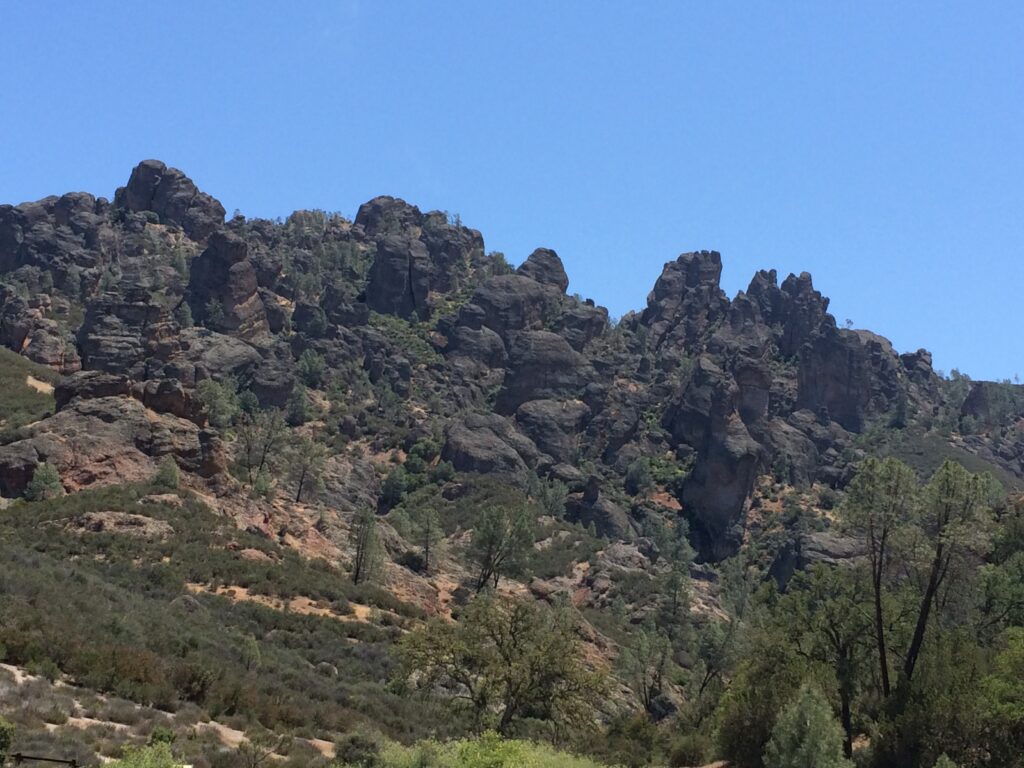
National Park Service Projects
Polaris has surveyed at the following parks for infrastructure improvement projects, including water and sewer upgrades, new trail alignments and parking improvements.
Death Valley National Park
Santa Monica National Recreation Area
Pinnacles National Park
Mojave National Preserve
Manzanar National Historic Site
Lassen Volcanic National Park
Point Reyes National Seashore
S.F. Maritime National Historical Park
Joshua Tree National Park
Sanborn & Elvee Road Improvements
City of Salinas
This project was completed from inception to construction. Polaris established survey control on State Plane coordinate system, prepared a topographic survey of existing roadway and adjacent areas (approximately 2 miles in length), and performed a boundary survey of existing right-of-way. Additionally we provided construction staking throughout the build process.
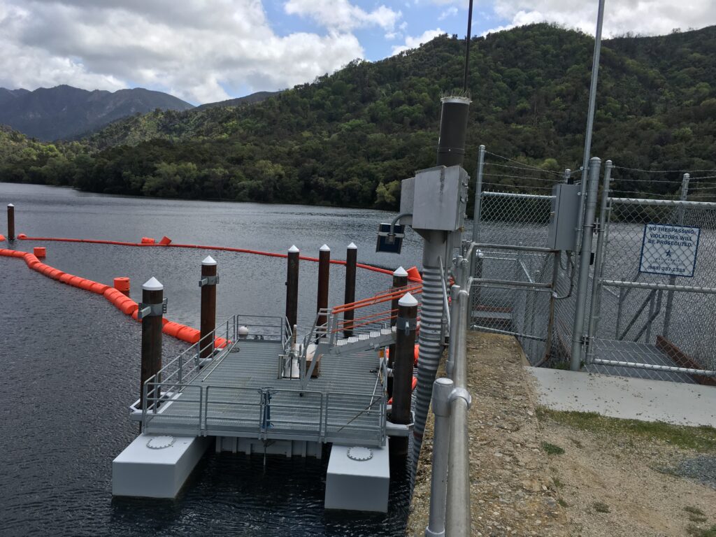
Los Padres Dam
Construction Staking
Polaris set control and staking for a new fish ladder from the spillway to the plunge pool at the Los Padres Dam in Carmel Valley. In addition, as built locations of the spillway and dam face were taken for staking of fish weir and access platform. Additional staking was provided to assist with placement of the fish behavior guidance system.
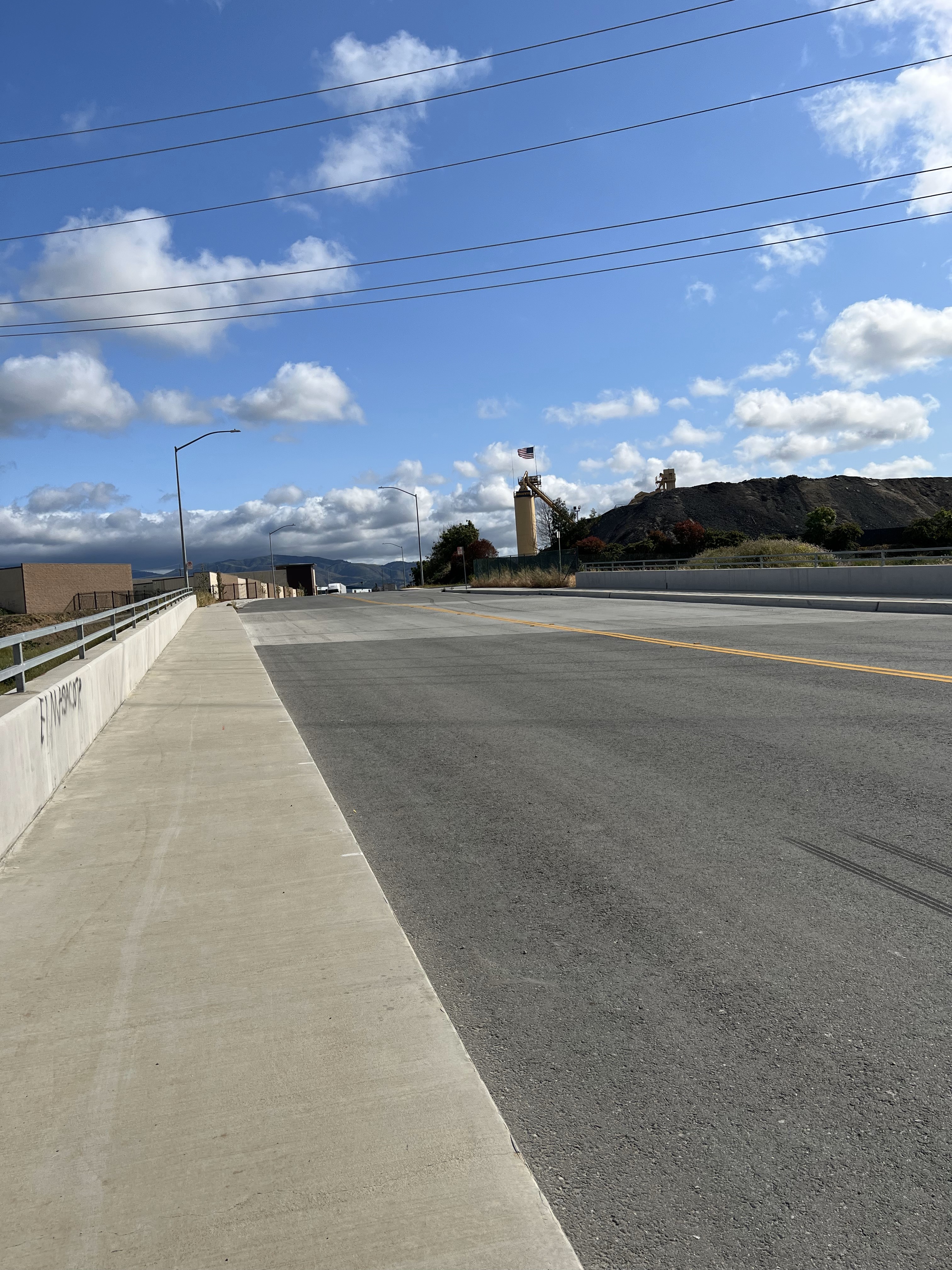
General Jim Moore Blvd
Construction Staking
This project took place along portions of General Jim Moore Blvd and Eucalyptus Road in Seaside, CA. The project included establishing a survey control network, topographic and boundary surveys, and construction staking of over 15,000 linear feet of roadway improvements, water pipelines and utilities.
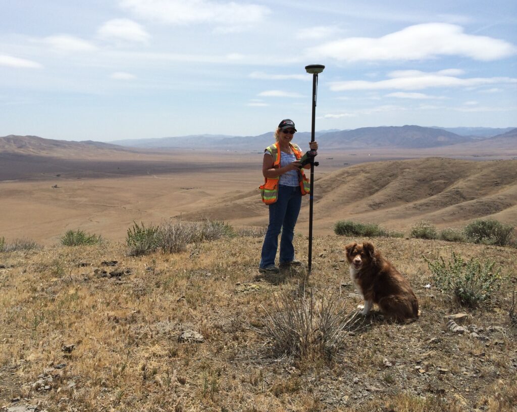
South Monterey County
Lot Line Adjustment
Boundary survey of over 3,000 acres in south Monterey County to adjust property lines between agricultural and cattle ranching lands. The survey involved determining the location of Rancho land grant boundaries and US Public Lands Survey System corners. Polaris worked with the county planning department to get the necessary approvals to move the property lines to the landowners’ preferred locations.
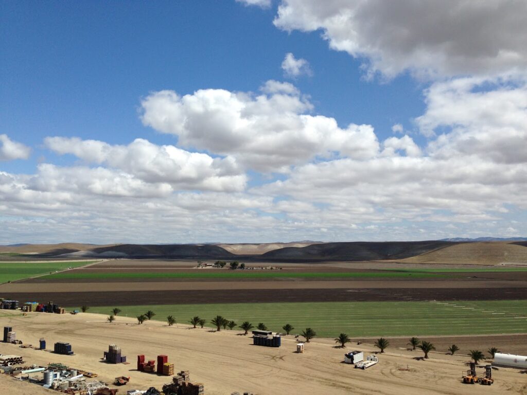
Panoche Valley Solar Farm
Boundary Survey
Polaris performed a boundary survey for a 6,500 acre property in San Benito County. This survey worked across multiple section and township lines as well as mapping of three large ranches including several County roads.
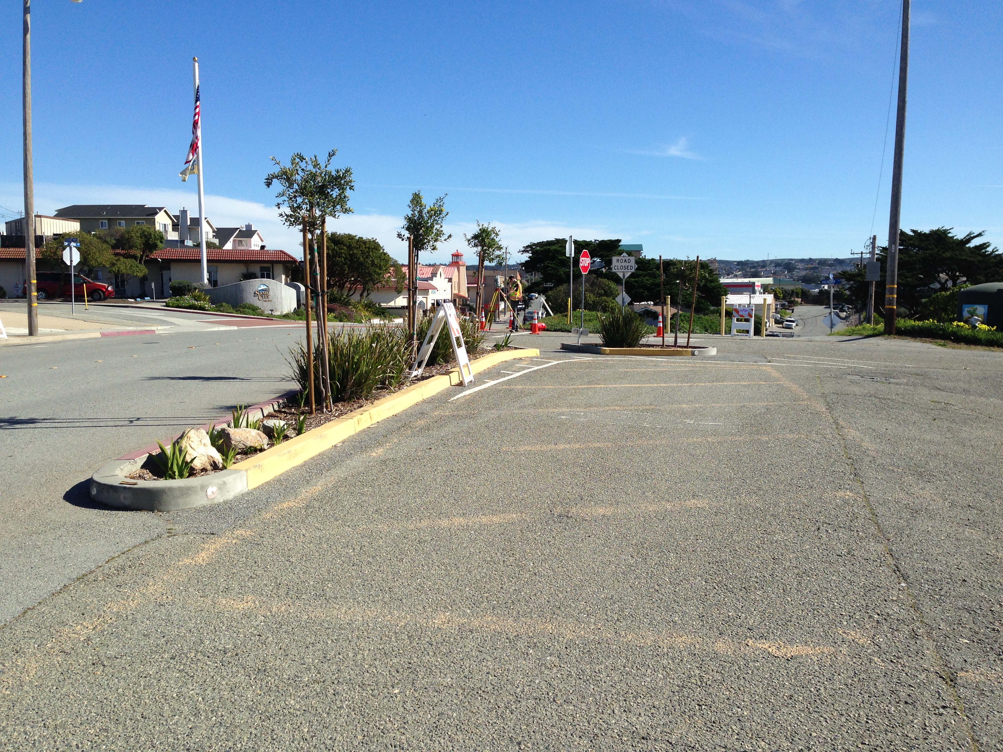
City Surveyor Services
Sand City & Gonzales
Lynn & Kathy serve as Consulting City Surveyors for the cities of Sand City and Gonzales, respectively. As City Surveyors they review development projects from subdivisions to Lot Line adjustments and Lot Mergers. This involves reviewing projects from Tentative Map phase to Final Map, as well as reviewing legal descriptions, subdivision maps and site plans. We also consult with the City Attorney and Engineer on development projects and procedures.